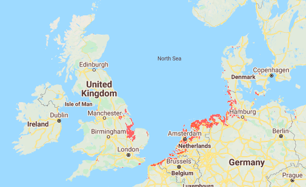
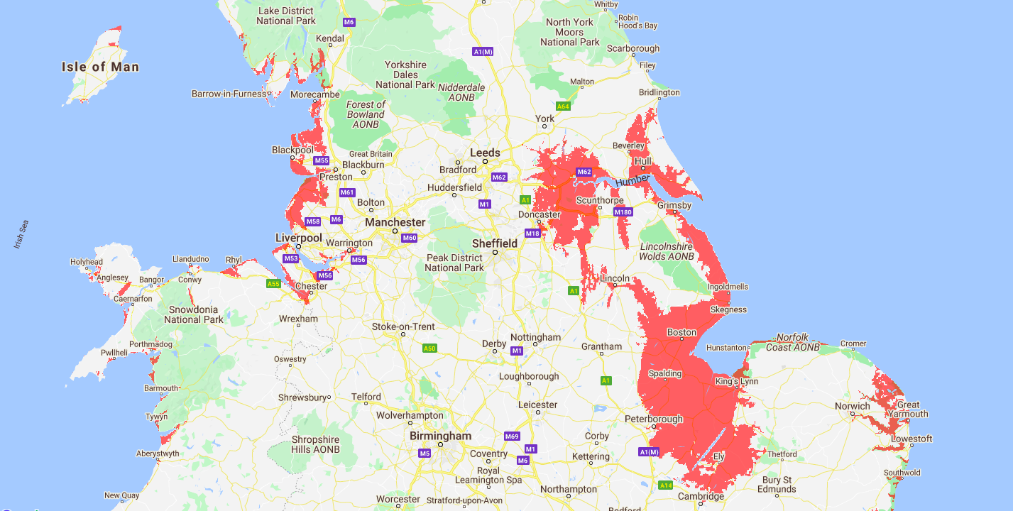
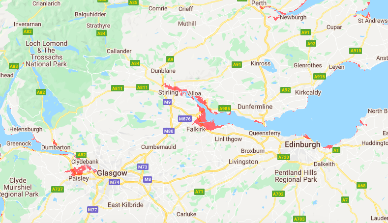
Scientists have warned for years about the impact of rising sea levels and now an interactive map can shows exactly where in the UK could be underwater as early as 2030.
The map, made by non-profit Climate Central, shows large parts of England’s east and north-east coast will be vulnerable to rising sea levels unless immediate action is taken to mitigate against global warming. London, Cardiff, Hull, Blackpool and Portsmouth are expected to be the most vulnerable to rising sea levels throughout the UK.
Dr Benjamin Strauss, chief executive of Climate Central, said the map improves upon previous data which tended to “overestimate land heights along the coast”.
Support The Big Issue and our vendors by signing up for a subscription.
“Our research found that its average error was roughly two metres worldwide, which means millions live closer to sea level and face greater coastal flood risk than earlier data suggested,” he said.
With more precise elevation data, the UK now has further information about which coastal towns will eventually need protection.

